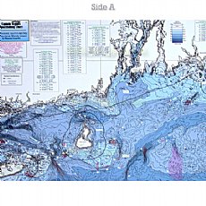
CRM208, Montauk, Marthas Vineyard, New Haven, Fishers Island, Long Island Sound, Gardiner's Bay

SKU: CS-B-CRM208
Weight: 1 lbs
CRM208 Nearshore and Inshore Bathymetric chart 10 - 20 miles off coast, Side A: Montauk, NY east to western tip of Marthas Vineyard. CT, RI & MA great detail of Mud Hole, Great Triangle, the Claw and many others. Side B: from New Haven CT, west to Fishers
MPN: CRM208
Price: $19.49
CRM208, Montauk, Marthas Vineyard, New Haven, Fishers Island, Long Island Sound, Gardiner's Bay
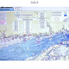
(Click to see larger image and other views)
Product Details
Captain Segull's Bathymetric Chart CRM208, Eastern Long Island Sound - Nearshore Connecticut, Rhode Island, Massachusetts.
Captain Seagull's Charts, maps
Captain Segull's Charts are designed for the serious sport fisherman. All charts are laminated,