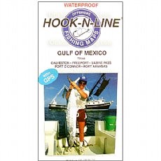
Hook-N-Line Map F131, Gulf of Mexico east of Galveston, Port Aransas

SKU: F131
Weight: 0 lbs 5 ozs
Hook-N-Line Fishing Map F131. Gulf of Mexico Offshore Fishing Map (With GPS). Covers areas of the Gulf of Mexico east of Galveston, Freeport, Port O'Connor, and Port Aransas. Texas Offshore
Price: $19.99
Availability: Currently Out of Stock
Hook-N-Line Map F131, Gulf of Mexico east of Galveston, Port Aransas
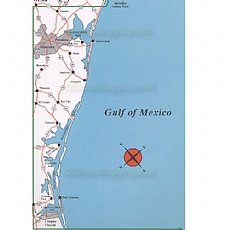
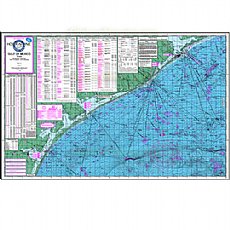
(Click to see larger image and other views)
Product Details
Hook-N-Line Fishing Map F-131. Gulf of Mexico Offshore Fishing Map (With GPS). An Offshore saltwater fishing map. Map F131 covers areas of the Gulf of Mexico east of Galveston, Freeport, Port O'Connor and Port Aransas. There are many surface platforms, wells, sunken wrecks, artificial reefs and underwater structure that provide good fishing for all kinds fish species. The map also details oil lease blocks and course lines. The map has tables listing GPS numbers for fishing spots, lease blocks, marinas and other locations of interest. Hook N Line, HookNLine